Topographical Surveys
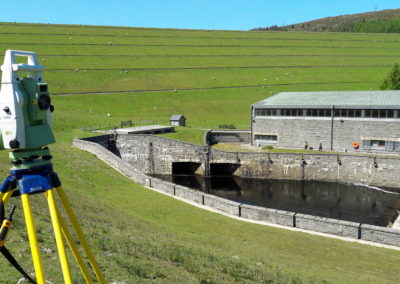
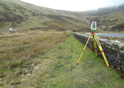
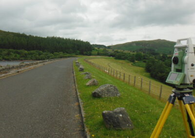
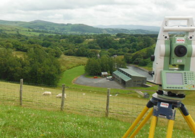
Topographical Surveys are a very cost effective means of providing an extremely highly accurate survey. Using the latest Leica equipment topographical surveys provide a great means to producing 3D ground terrain data where vegetation levels are high, detailed surveys of roads or areas where Utility surveys are required, line and level surveys of culverts and pipework.
Topographical Surveys are completed in combination with Ground Penetrating Radar and Utility surveys, deformation surveys and setting out works, in particular for 3D Laser scanning control stations.
All surveys are produced in 3D AutoCAD with .dwg and .dxf exported file formats


