Bathymetric Surveys
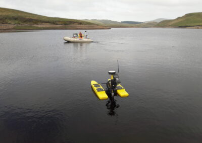
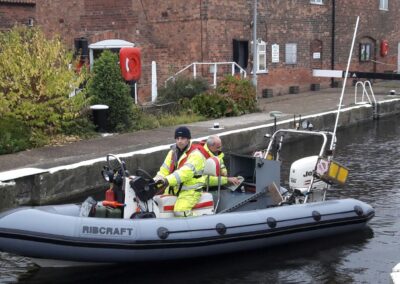
Reservoir and Water Services use a range of boats from a 4ft remote controlled up to a 6m RIB suitable to enable surveying in all types of water bodies. Each boat can be equipped with the extensive collection of sonar sensors both single and multibeam, sub bottom profilers, 3D Scanning sonars and imagery sensors. Each sensor has a different purpose allowing full mapping of the river, lake or reservoir bed profiles with or without silt. The ability to calculate volumes of silt and water, mapping the location of underwater features and visual imagery inspections.
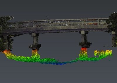
3D Scanning provides a great solution for river bed mapping and bridge scour inspections, the point cloud survey can be registered with above water laser scanning data sets to provide a full above and below water profile. Focussing on particular points of interest can provide high intensity point cloud data for inspections such as scour on Bridge piers. These surveys provide a much lower risk alternative to traditional diving surveys with the added benefit of precise measuring abilities. ROV’s can also be deployed for close up visual camera inspections on features such as outlet pipes and valves.
All survey data is coordinated through RTK to ordnance datum and produced in 3D AutoCAD.


