Ground Penetrating Radar & Utility Surveys
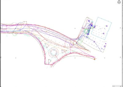
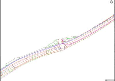
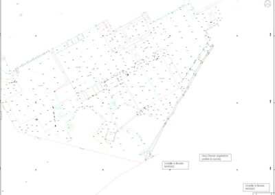
Using both Leica DS2000 Ground Penetrating Radar and Radiodetection transmitters and receivers, Reservoir and Water have trained personnel to undertake the most complex of Utility tracing surveys.
All surveyors are trained to deliver surveys to PAS128 standard with production of drawings in 3D AutoCAD.
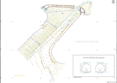
Surveys are undertaking in combination with Topographical Surveys to allow Utilities to be plotted within the latest site topography and within specification tolerances.
All Surveys produced in 3D AutoCAD and issued as .dwg and exported .dxf file formats.


