Laser Scanning
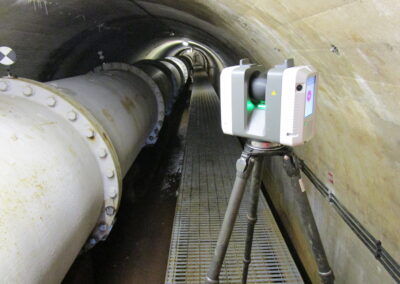
Using a combination of Leica P40 and RTC360 we are able to cover all aspects of laser scanning.
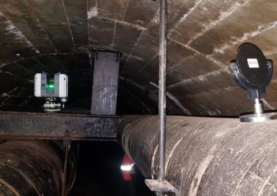
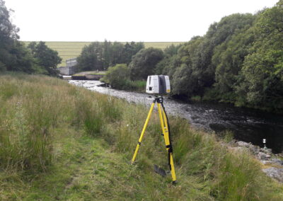
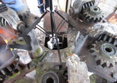
All surveyors are confined space trained to provide complex scanning results in the most demanding of conditions. We specialise in Reservoir and Water related activities and have a wealth of experience surveying inside tunnels, valve towers, open terrain and general buildings. Every laser scan survey provides a full point cloud dataset and HD imagery providing a full 360 degree view and detail of the stucture. Once the data has been post processed our Modelling team can create a full realistic Autodesk model.
A great compliment to laser scanning is the ability to combine with underwater hydrographic surveys to provide a full above and below ground bed profile, the surveys are completed using the range of boats held at Reservoir and Water Services please visit Hydrographic section for more details fo below water scanning.
All 3D laser scans can be issued to the client in general point cloud file formats including .e57, .ptx, .lgs, .rcp with HDS imagery data. Additional service from our BIM team also are able to recreate the data into a realistic 3D model or produce high density mesh .obj, .ply files.
Refer to 3D modelling section for more details


