UAV Surveys
Services range from small internal inspection drones to heavy lift platforms with a 6 foot wingspan to undertake a range of tasks including Engineering Visual Assessments, 2D Mapping, Infrared Mapping, 3D Photogrammetry and Lidar surveys.
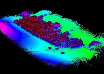
Lidar Surveys are predomminately used where high levels of vegetation are present to produce digital terrain models that cannot be achieved using traditional techniques or photogrammetry. Lidar is known for being mounted on Helicopters or planes, attaching to a drone hugely reducely costs and allows data to be captured 100 times denser and up to 10 times more accurate than historical setups.
All UAV Surveys are referenced to Ordnance Datum using multiple ground control points throughout the survey area where an overall accuracy of sub 20mm is possible. Lidar surveys use a base station to stream Real Time Kinematic (RTK) corrections to the drone leading to an overall accuracy between 20-50mm.

